In response to increasing pressures on coastal communities from sea level rise and increasing pressures on public access in the Estuary, the New York-New Jersey Harbor & Estuary Program (NY-NJ HEP) was awarded a grant from the EPA Climate- Ready Estuaries office to focus on site-specific impacts at public access sites in New Jersey.
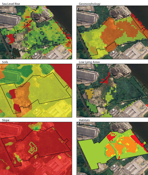
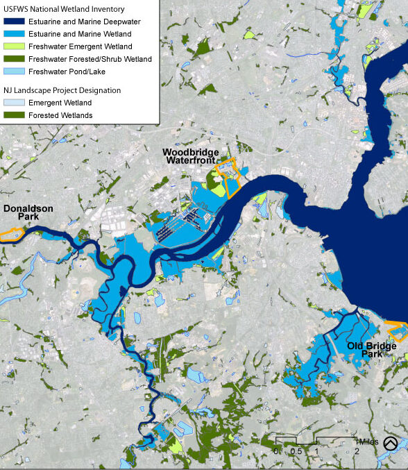
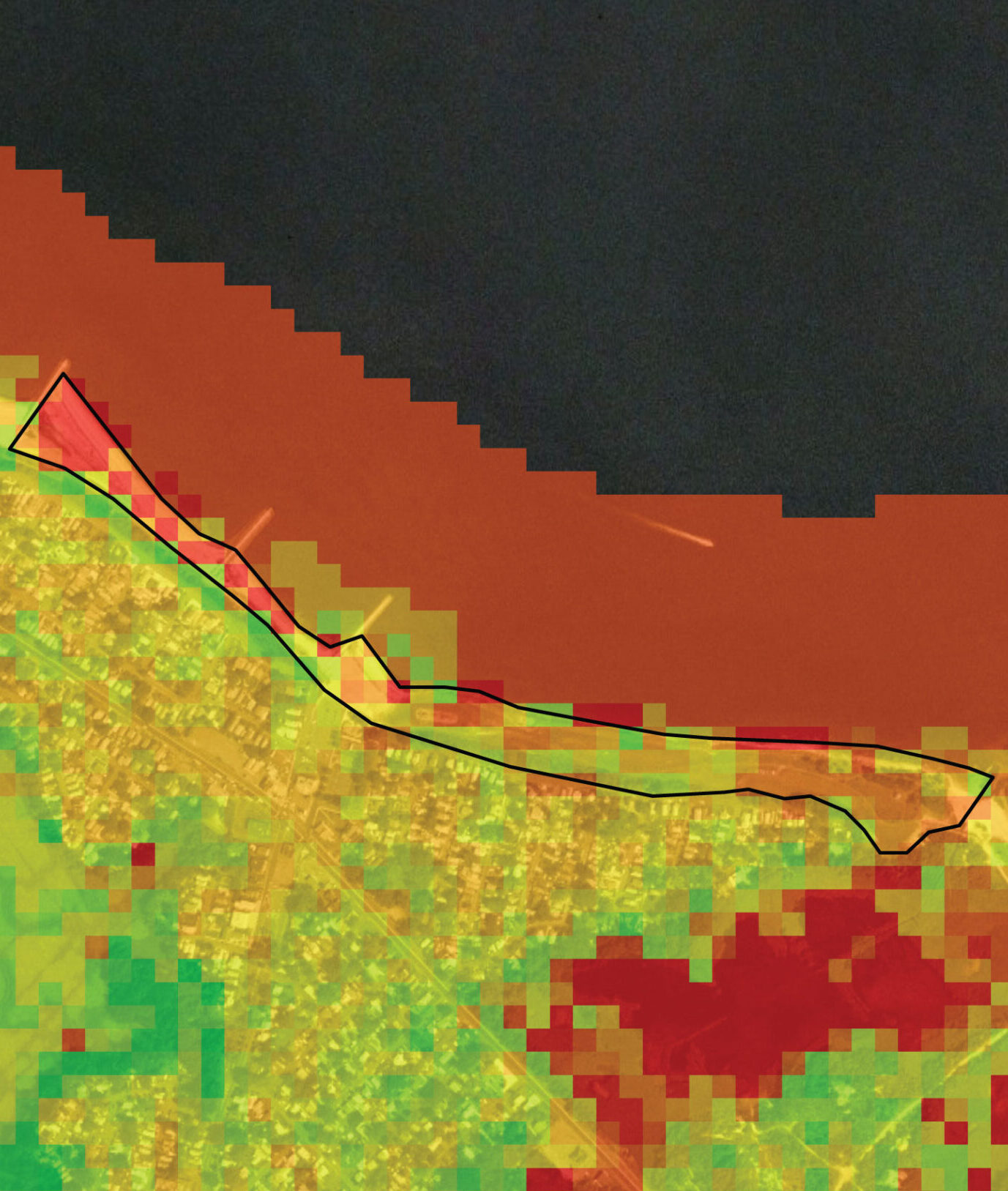
Great Ecology provided technical assistance for the project in collaboration with the NY-NJ HEP and the New England Interstate Water Pollution Control Commission (NEIWPCC). Great Ecology created a model that uses GIS analysis and field data collection to assess the vulnerability of public access infrastructure and natural resources to sea level rise at three public access sites along New Jersey’s lower Raritan River. Great Ecology developed a report with site-specific and regional recommendations for minimizing potential ecological and public access infrastructure damage from sea level rise. The report serves as a useful and reusable framework for municipal governments, agencies, practitioners, and coastal decision-makers seeking to assess and plan for sea level rise vulnerability and resilience at the local, site-specific geographical scale.