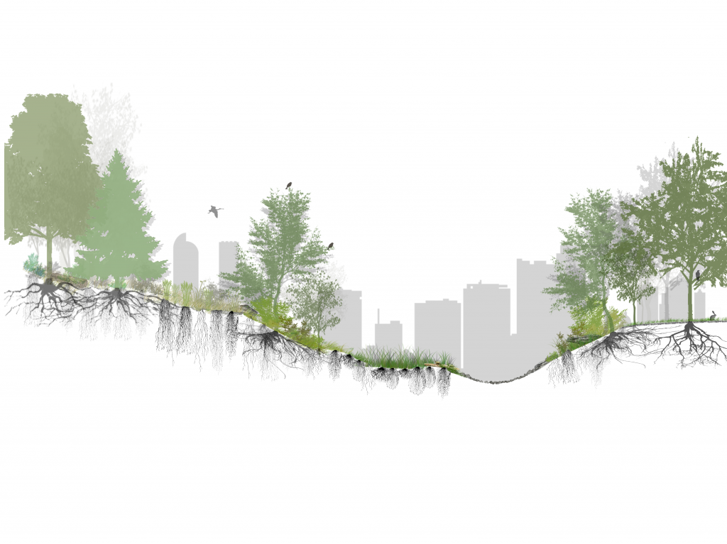
Great Ecology was contracted by the City of Denver Department of Parks & Recreation (DPR) to develop a digital tool that identifies the various landscape types over thousands of acres of DPR managed lands for the purpose of asset tracking and management. DPR’s goal was to understand the total acreage, landscape attributes, and maintenance costs of different landscape types on DPR properties to help inform restoration priorities and maintenance actions, improve resiliency and biodiversity amongst park spaces, and guide new park and greenway design with data-driven decision making.
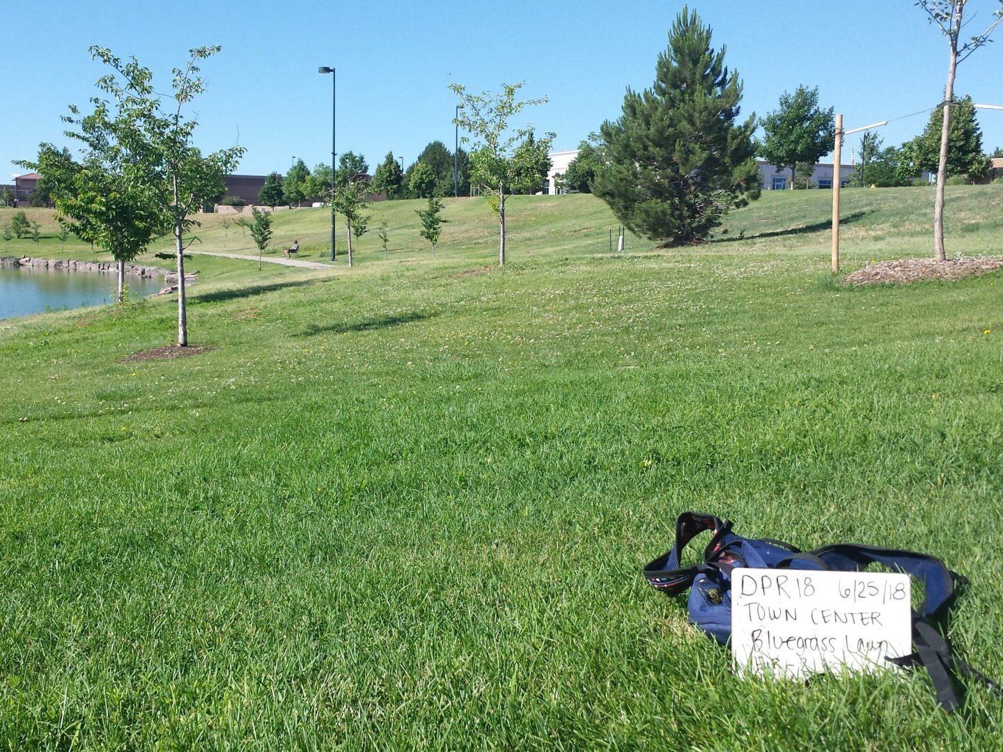
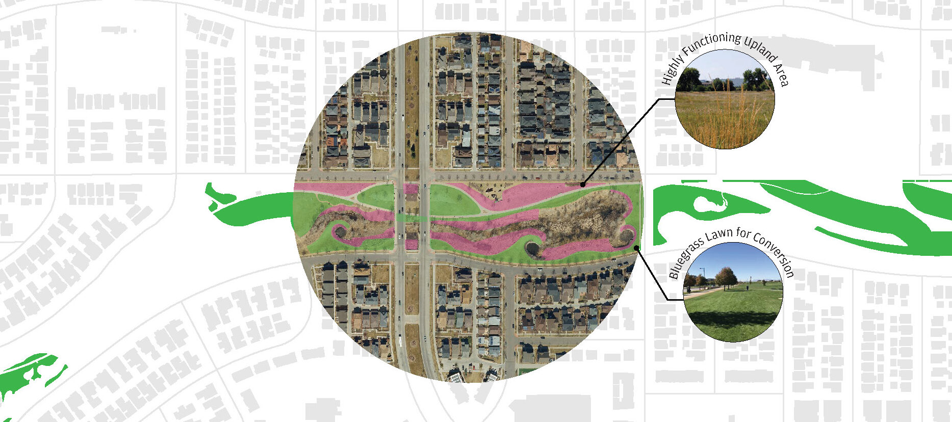
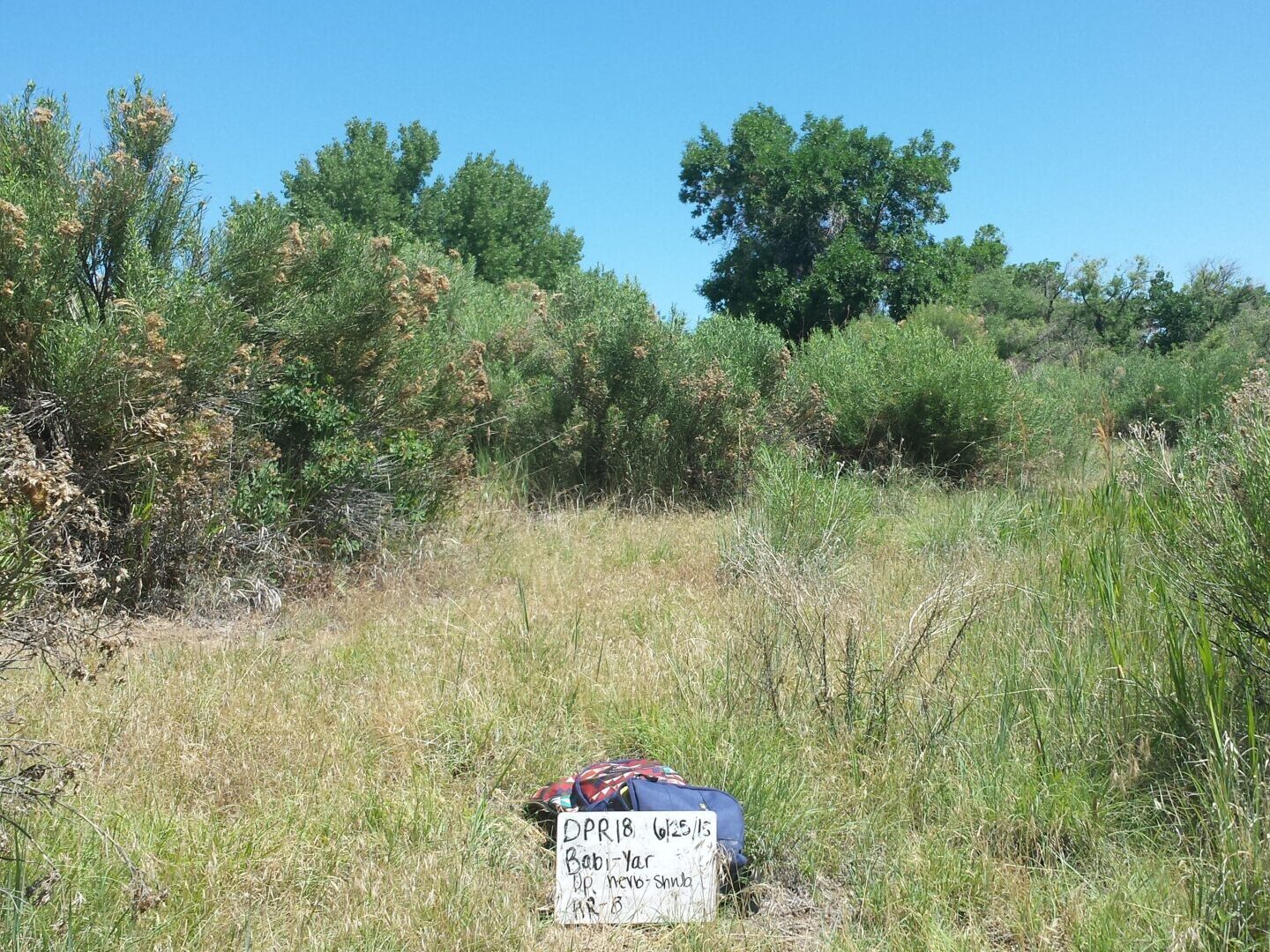
Great Ecology utilized a Landscape Typology process that included gathering information for the development of a geodatabase covering 4,095 acres across Denver, including information on nine different landscape types and 15 sub-types. The process of Landscape Typology involved categorizing landscape and vegetation types using a combination of geospatial desktop analysis (mapped at the 0.25 acre scale) and in-person field surveys. The range of data collected and scored for overall health includes: diversity of species, wildlife presence, site aesthetic, public access, ecological connectivity, water quality, and streambank/shoreline condition and type, to name a few. The geodatabase allows DPR and Denver Mile High Flood District (MHFD) to pull detailed, site-specific data on a scale ranging from an individual landscape typology to city-wide data in aggregate. DPR and MHFD are using these data to determine basic statistics like acres by habitat type, to more complex analyses, such as the average typology function overlaid with an area’s irrigation input or levels of maintenance to determine water conservation opportunities.
In addition to development of the Landscape Typology geodatabase, Great Ecology developed maps for DPR that highlighted landscape type(s) within parks and created a public-facing manual to inform the public about Landscape Typology, native landscape types, and benefits of implementing Landscape Typology. The manual is also used by DPR and MHFD staff to inform updates for the geodatabase, specific management techniques to best manage different landscape types, and the implications of a parkscape moving from “high functioning” to a lower level of functioning.